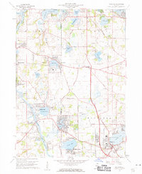
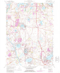
1960 Map of Wauconda
USGS Topo · Published 1962About this map
Bangs Lake and the village of Wauconda serve as the southeastern anchor of this landscape, characterized by a dense network of glacial lakes and mid-century suburban expansion. The survey captures the transition of the northern Illinois lake country, where established recreation hubs like Williams Park and Mylith Park are joined by newer developments such as Eastwood Manor and Holiday Hills. These lakeside communities are linked by a patchwork of county roads, including Grant Cem Road and Fisher Road, which navigate around prominent water bodies like Wooster Lake and Slocum Lake.
Find a feature on this map
71 named features on this map. Tap any name to fly to it.
Don’t see what you’re looking for? This feature index may not catch every label — zoom into the map to look around manually.
Map Details
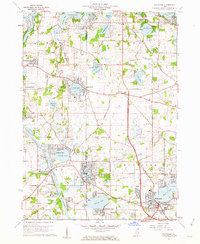
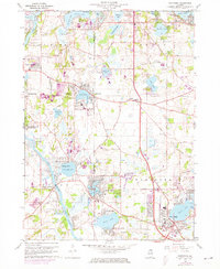
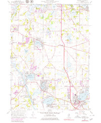
Editions of this 1960 Wauconda Map
5 editions found
Other maps of this area

1920 · Grays Lake
USGS Topo · 1:62,500

1923 · Grays Lake
USGS Topo · 1:62,500

1923 · Barrington
USGS Topo · 1:62,500

1925 · Elgin
USGS Topo · 1:62,500

1926 · Mc Henry
USGS Topo · 1:62,500

1935 · Barrington
USGS Topo · 1:62,500

1940 · Elgin
USGS Topo · 1:62,500

1944 · McHenry
USGS Topo · 1:62,500

1954 · Rockford
USGS Topo · 1:250,000

1955 · Rockford
USGS Topo · 1:250,000