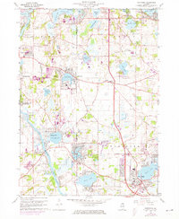
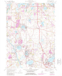
1960 Map of Wauconda
USGS Topo · Published 1973About this map
The Fox River and a sprawling chain of lakes define the landscape of this northeastern Illinois region during the early 1960s. Residential developments like Palm Beach, Eastwood Manor, and Emerald Park cluster around the waterfronts of Pistakee Lake and Wooster Lake, reflecting the post-war suburbanization of Lake and McHenry counties. The map records several youth and recreation sites, including Camp Henry Horner, Camp Hickory, and Camp Dundas, alongside local infrastructure such as a Drive-in Theater and the Sanitarium near Wooster Lake.
Find a feature on this map
71 named features on this map. Tap any name to fly to it.
Don’t see what you’re looking for? This feature index may not catch every label — zoom into the map to look around manually.
Map Details
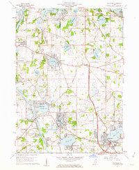
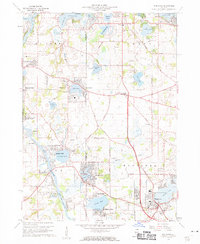
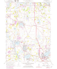
Editions of this 1960 Wauconda Map
5 editions found
Other maps of this area

1920 · Grays Lake
USGS Topo · 1:62,500

1923 · Grays Lake
USGS Topo · 1:62,500

1923 · Barrington
USGS Topo · 1:62,500

1925 · Elgin
USGS Topo · 1:62,500

1926 · Mc Henry
USGS Topo · 1:62,500

1935 · Barrington
USGS Topo · 1:62,500

1940 · Elgin
USGS Topo · 1:62,500

1944 · McHenry
USGS Topo · 1:62,500

1954 · Rockford
USGS Topo · 1:250,000

1955 · Rockford
USGS Topo · 1:250,000