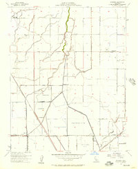
1954 Map of Waukena
USGS Topo · Published 1957About this map
Waukena stands as the primary hub in this Central Valley landscape, situated along the Atchison Topeka and Santa Fe railroad line. The map captures a moment of agricultural transition, evidenced by the intricate network of irrigation ditches, canals, and numerous reservoirs that dictate the region's geography. Educational history is preserved through the locations of the Lakeside School and the already noted Aurora School (Aban'd), while the Lakeside Cemetery provides a focal point for genealogical research in the northwest corner. Water management is the dominant theme of this terrain, with Cross Creek and Cameron Creek feeding into various basins, including a large Percolation Basin near the Kings-Tulare county line. The grid-based road system, featuring Jersey Avenue, Kansas Avenue, and Kent Avenue, illustrates the organized development of the fertile valley floor during the mid-1950s.
Find a feature on this map
20 named features on this map. Tap any name to fly to it.
Don’t see what you’re looking for? This feature index may not catch every label — zoom into the map to look around manually.
Map Details
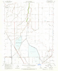
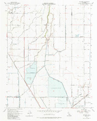
Editions of this 1954 Waukena Map
3 editions found
Other maps of this area

1926 · Goshen
USGS Topo · 1:31,680

1926 · Hanford
USGS Topo · 1:31,680

1927 · Remnoy
USGS Topo · 1:31,680

1927 · Lake View School
USGS Topo · 1:31,680

1927 · Paige
USGS Topo · 1:31,680

1928 · Waukena
USGS Topo · 1:31,680

1928 · Corcoran
USGS Topo · 1:31,680

1929 · Guernsey
USGS Topo · 1:31,680

1932 · El Rico Ranch
USGS Topo · 1:31,680
1936 · El Rico Ranch
USGS Topo · 1:31,680