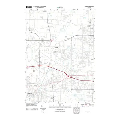
2010 Map of Waukesha
USGS Topo · Published 2010About this map
Waukesha sits at a critical hydrological and transportation junction where the Fox River and Pewaukee River converge, anchored by the industrial legacy of the Saratoga Mill Dam. This 2010 survey illustrates the complex suburban expansion across eastern Wisconsin, showing how once-distinct settlements like Duplainville, Marcy, and Goerkes Corner have been integrated into the modern metropolitan corridor.
Find a feature on this map
59 named features on this map. Tap any name to fly to it.
Don’t see what you’re looking for? This feature index may not catch every label — zoom into the map to look around manually.
Map Details
Editions of this 2010 Waukesha Map
This is the sole edition of this map. No revisions or reprints were ever made.
Other maps of this area

1891 · Muskego
USGS Topo · 1:62,500

1892 · Waukesha
USGS Topo · 1:62,500

1892 · Oconomowoc
USGS Topo · 1:62,500

1892 · Eagle
USGS Topo · 1:62,500

1894 · Eagle
USGS Topo · 1:62,500

1897 · Eagle
USGS Topo · 1:62,500

1901 · Waukesha
USGS Topo · 1:62,500

1901 · Muskego
USGS Topo · 1:62,500

1906 · Eagle
USGS Topo · 1:62,500

1906 · Waukesha
USGS Topo · 1:62,500