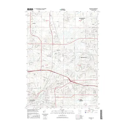
2015 Map of Waukesha
USGS Topo · Published 2015About this map
The Fox River meanders southward through this suburban landscape, connecting the expanding communities of Pewaukee, Brookfield, and Waukesha. During the mid-2010s, this area reflects a dense network of residential development integrated with significant educational and transportation infrastructure, notably Carroll University and the Waukesha County Airport. Smaller settlements such as Duplainville and Marcy maintain their identity amidst the larger municipal sprawl of Menomonee Falls and New Berlin.
Find a feature on this map
199 named features on this map. Tap any name to fly to it.
Don’t see what you’re looking for? This feature index may not catch every label — zoom into the map to look around manually.
Map Details
Editions of this 2015 Waukesha Map
This is the sole edition of this map. No revisions or reprints were ever made.
Other maps of this area

1891 · Muskego
USGS Topo · 1:62,500

1892 · Waukesha
USGS Topo · 1:62,500

1892 · Oconomowoc
USGS Topo · 1:62,500

1892 · Eagle
USGS Topo · 1:62,500

1894 · Eagle
USGS Topo · 1:62,500

1897 · Eagle
USGS Topo · 1:62,500

1901 · Waukesha
USGS Topo · 1:62,500

1901 · Muskego
USGS Topo · 1:62,500

1906 · Eagle
USGS Topo · 1:62,500

1906 · Waukesha
USGS Topo · 1:62,500