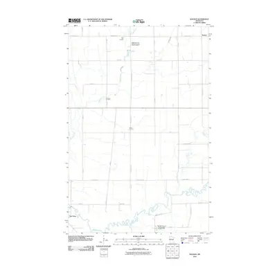
2010 Map of Waukon
USGS Topo · Published 2010About this map
The Wild Rice River meanders across this rural landscape in Norman County, anchoring a terrain defined by its water systems and agricultural grid. In the north, Waukon stands near the intersection of County Hwy-18 and County Hwy-19, while the southwestern corner reaches toward Twin Valley. The map reveals a community structured around its water management and ancestral grounds, featuring multiple drainage and flood control projects such as the Habedank-Skaurud Multipurpose Structure Dam and Mashaug Creek Multiple Purpose Dam Number 3. These structures intersect with natural features like Garden Slough and Marsh Creek. For those researching local families, the presence of Saint Petri Cemetery, Immanuel Cemetery, and Hlubek Cemetery provides specific points of interest within the vast township sections. The rectilinear road network, including routes like 390th St and County Hwy-34, illustrates the persistence of the section-line system in this part of Minnesota.
Find a feature on this map
29 named features on this map. Tap any name to fly to it.
Don’t see what you’re looking for? This feature index may not catch every label — zoom into the map to look around manually.
Map Details
Editions of this 2010 Waukon Map
This is the sole edition of this map. No revisions or reprints were ever made.
Other maps of this area

1918 · Twin Valley
USGS Topo · 1:62,500

1918 · Flom
USGS Topo · 1:62,500

1918 · Ulen
USGS Topo · 1:62,500

1952 · Grand Forks
USGS Topo · 1:250,000

1956 · Grand Forks
USGS Topo · 1:250,000

1965 · Waukon
USGS Topo · 1:24,000

1965 · Twin Valley
USGS Topo · 1:24,000

1965 · Syre
USGS Topo · 1:24,000

1965 · Flaming
USGS Topo · 1:24,000

1966 · Flom
USGS Topo · 1:24,000