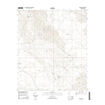
2015 Map of Wautubbee
USGS Topo · Published 2015About this map
Wautubbee and Pachuta anchor this study of the Mississippi landscape within Clarke County, where the terrain is defined by the winding course of the Chickasawhay River. The map reveals a dense network of county roads and family-named landmarks that speak to the region's rural heritage. Notable elevation changes are prominent at King Bluff, overlooking the river's eastern banks as it flows southward past several established settlements.
Find a feature on this map
69 named features on this map. Tap any name to fly to it.
Don’t see what you’re looking for? This feature index may not catch every label — zoom into the map to look around manually.
Map Details
Editions of this 2015 Wautubbee Map
This is the sole edition of this map. No revisions or reprints were ever made.
Other maps of this area

1953 · Hattiesburg
USGS Topo · 1:250,000

1953 · Meridian
USGS Topo · 1:250,000

1957 · Meridian
USGS Topo · 1:250,000

1957 · Quitman
USGS Topo · 1:62,500

1957 · Enterprise
USGS Topo · 1:62,500

1958 · Hattiesburg
USGS Topo · 1:250,000

1963 · Heidelberg
USGS Topo · 1:24,000

1964 · Hale
USGS Topo · 1:24,000

1964 · De Soto
USGS Topo · 1:24,000

1965 · Meridian
USGS Topo · 1:250,000