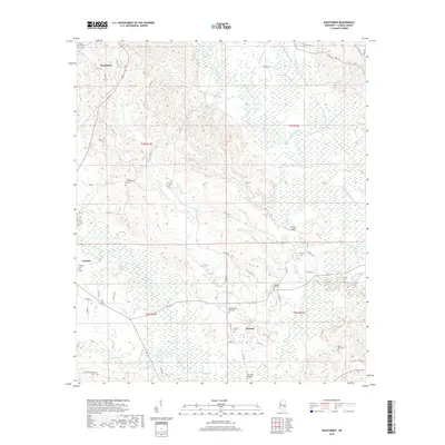
2018 Map of Wautubbee
USGS Topo · Published 2018About this map
Pachuta and Wautubbee anchor this portion of Clarke County, where the landscape is defined by the winding course of the Chickasawhay River and its numerous tributaries like Gordon Cr and Alligator Branch. The area is notably dense with family and community burial grounds, including the Old Souenlovie Cem and both the Pleasant Hill Cem and Old Pleasant Hill Cem, reflecting generations of local settlement.
Find a feature on this map
54 named features on this map. Tap any name to fly to it.
Don’t see what you’re looking for? This feature index may not catch every label — zoom into the map to look around manually.
Map Details
Editions of this 2018 Wautubbee Map
This is the sole edition of this map. No revisions or reprints were ever made.
Other maps of this area

1953 · Hattiesburg
USGS Topo · 1:250,000

1953 · Meridian
USGS Topo · 1:250,000

1957 · Meridian
USGS Topo · 1:250,000

1957 · Quitman
USGS Topo · 1:62,500

1957 · Enterprise
USGS Topo · 1:62,500

1958 · Hattiesburg
USGS Topo · 1:250,000

1963 · Heidelberg
USGS Topo · 1:24,000

1964 · Hale
USGS Topo · 1:24,000

1964 · De Soto
USGS Topo · 1:24,000

1965 · Meridian
USGS Topo · 1:250,000