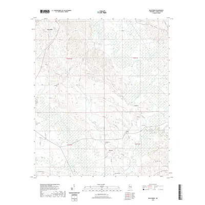
2020 Map of Wautubbee
USGS Topo · Published 2020About this map
Chickasawhay River and its varied tributaries like Alligator Branch and Pachuta Creek shape this portion of Clarke County, where high ground and marshy bottoms alternate. The settlement of Wautubbee sits at the northern edge, while Elwood lies further south, connected by a network of local roads including Old Stagecoach Rd and Walnut St. The landscape is notably dotted with numerous small family and community burial grounds, such as Old Souenlovie Cem, White Oak Cem, and King Cem, reflecting the deep-rooted rural lineages of the area. Significant landmarks like King Bluff and McCloud Bridge provide orientation within the wooded terrain, while the drainage patterns of Oaky Cr and Shots Cr illustrate the complex hydrography feeding the main river system in this corner of Mississippi.
Find a feature on this map
55 named features on this map. Tap any name to fly to it.
Don’t see what you’re looking for? This feature index may not catch every label — zoom into the map to look around manually.
Map Details
Editions of this 2020 Wautubbee Map
This is the sole edition of this map. No revisions or reprints were ever made.
Other maps of this area

1953 · Hattiesburg
USGS Topo · 1:250,000

1953 · Meridian
USGS Topo · 1:250,000

1957 · Meridian
USGS Topo · 1:250,000

1957 · Quitman
USGS Topo · 1:62,500

1957 · Enterprise
USGS Topo · 1:62,500

1958 · Hattiesburg
USGS Topo · 1:250,000

1963 · Heidelberg
USGS Topo · 1:24,000

1964 · Hale
USGS Topo · 1:24,000

1964 · De Soto
USGS Topo · 1:24,000

1965 · Meridian
USGS Topo · 1:250,000