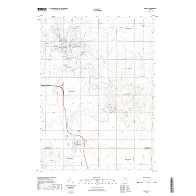
2018 Map of Waverly
USGS Topo · Published 2018About this map
Waverly and Janesville anchor this 2018 survey of the Cedar River valley at the border of Bremer and Black Hawk Counties. The landscape is defined by the winding river corridor, which transitions from the urban grid of Waverly—marked by the Bremer Avenue Bridge—into a broader alluvial plain known as The Bottoms. Genealogists will find a high concentration of burial grounds, including Harlington Cem, Saint Josephs Cem, and Saint Paul Cem, reflecting the area's deep-rooted settlement history. Significant water features such as Baskins Run, Quarter Section Run, and the West Fork Cedar River feed into the main channel, while the Green Mill Ford Bridge marks a specific crossing point in the rural southern portion of the quadrangle.
Find a feature on this map
109 named features on this map. Tap any name to fly to it.
Don’t see what you’re looking for? This feature index may not catch every label — zoom into the map to look around manually.
Map Details
Editions of this 2018 Waverly Map
This is the sole edition of this map. No revisions or reprints were ever made.
Other maps of this area

1954 · Waterloo
USGS Topo · 1:250,000

1955 · Waterloo
USGS Topo · 1:250,000

1963 · Waverly
USGS Topo · 1:24,000

1963 · Denver
USGS Topo · 1:24,000

1963 · Cedar Falls
USGS Topo · 1:24,000

1963 · Waterloo North
USGS Topo · 1:24,000

1971 · Shell Rock
USGS Topo · 1:24,000

1971 · Bremer
USGS Topo · 1:24,000

1971 · Plainfield
USGS Topo · 1:24,000

1971 · Tripoli
USGS Topo · 1:24,000