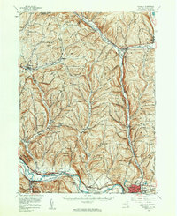
1954 Map of Waverly
USGS Topo · Published 1961About this map
The Chemung River corridor serves as the primary artery for settlement and industry in the mid-1950s, anchoring the southern border of New York. The landscape is defined by its deep connectivity to the Lehigh Valley and Erie-Lackawanna rail lines, which parallel the water and support the growth of the manufacturing and transport hub at Waverly. To the west, the historical significance of the terrain is marked by Newtown Battlefield State Park, overlooking the valley near Lowman.
Find a feature on this map
88 named features on this map. Tap any name to fly to it.
Don’t see what you’re looking for? This feature index may not catch every label — zoom into the map to look around manually.
Map Details
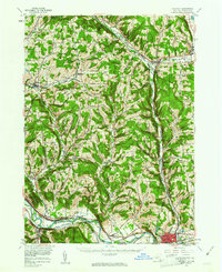
Editions of this 1954 Waverly Map
2 editions found
Other maps of this area

1893 · Ithaca
USGS Topo · 1:62,500

1895 · Ithaca
USGS Topo · 1:62,500

1895 · Elmira
USGS Topo · 1:62,500

1898 · Watkins Glen
USGS Topo · 1:62,500

1900 · Dryden
USGS Topo · 1:62,500

1901 · Watkins
USGS Topo · 1:62,500

1902 · Waverly
USGS Topo · 1:62,500

1903 · Owego
USGS Topo · 1:62,500

1905 · Watkins Glen
USGS Topo · 1:125,000

1906 · Catatonk
USGS Topo · 1:125,000