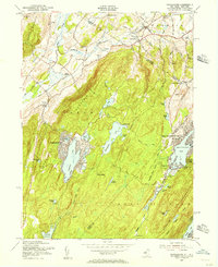
1954 Map of Wawayanda
USGS Topo · Published 1956About this map
Wawayanda Mountain and the high ridges of the New Jersey-New York borderlands define this mid-century topographic survey. The landscape is characterized by a high density of recreation-oriented water bodies, including Highland Lakes, Upper Greenwood Lake, and Lake Wanda. Significant transportation infrastructure from the early 1950s is present, such as the winding route of the Appalachian Trail across the peaks and the Lehigh and Hudson River railroad tracking through Vernon Valley. Small settlements and rural waypoints like Maple Grange, Prices Switch, and DeKays are documented alongside local institutions like District School No 8. Of particular interest to cultural historians is the mid-century inclusion of a Drive-in Theater near the northern boundary, reflecting the era's evolving leisure habits in the rural outskirts of the Highlands.
Find a feature on this map
65 named features on this map. Tap any name to fly to it.
Don’t see what you’re looking for? This feature index may not catch every label — zoom into the map to look around manually.
Map Details
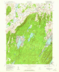
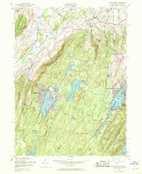
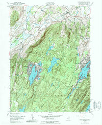
Editions of this 1954 Wawayanda Map
4 editions found
Other maps of this area

1888 · Franklin
USGS Topo · 1:62,500

1891 · Greenwood Lake
USGS Topo · 1:62,500

1893 · Greenwood Lake
USGS Topo · 1:62,500

1894 · Franklin
USGS Topo · 1:62,500

1897 · Franklin
USGS Topo · 1:62,500

1903 · Franklin Furnace
USGS Topo · 1:62,500

1903 · Greenwood Lake
USGS Topo · 1:62,500

1906 · Port Jervis
USGS Topo · 1:62,500

1906 · Goshen
USGS Topo · 1:62,500

1908 · Goshen
USGS Topo · 1:62,500