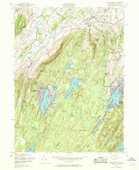
1954 Map of Wawayanda
USGS Topo · Published 1969About this map
Wawayanda Mountain and Bearfort Mountain dominate the terrain of this 1954 revision, which captures the lake-centered development of Sussex and Passaic counties during the mid-century. Significant growth is visible at Highland Lakes and Upper Greenwood Lake, where dense residential grids contrast with the surrounding forest of Wawayanda State Park. The northwestern corner preserves an older agricultural character along the Lehigh and Hudson River corridor, featuring the small settlements of Glenwood and Prices Switch.
Find a feature on this map
61 named features on this map. Tap any name to fly to it.
Don’t see what you’re looking for? This feature index may not catch every label — zoom into the map to look around manually.
Map Details
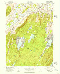
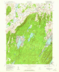
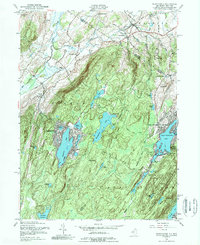
Editions of this 1954 Wawayanda Map
4 editions found
Other maps of this area

1888 · Franklin
USGS Topo · 1:62,500

1891 · Greenwood Lake
USGS Topo · 1:62,500

1893 · Greenwood Lake
USGS Topo · 1:62,500

1894 · Franklin
USGS Topo · 1:62,500

1897 · Franklin
USGS Topo · 1:62,500

1903 · Franklin Furnace
USGS Topo · 1:62,500

1903 · Greenwood Lake
USGS Topo · 1:62,500

1906 · Port Jervis
USGS Topo · 1:62,500

1906 · Goshen
USGS Topo · 1:62,500

1908 · Goshen
USGS Topo · 1:62,500