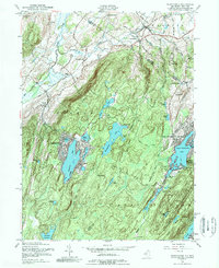
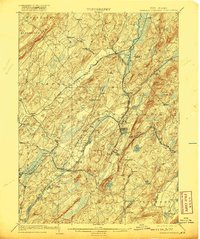
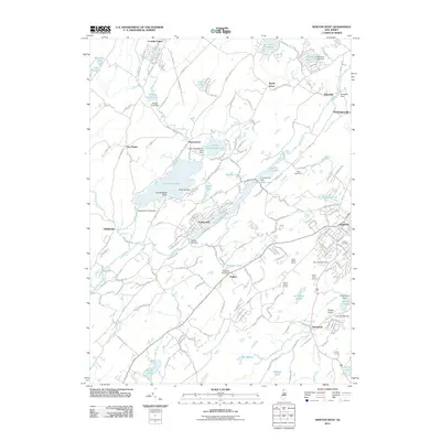
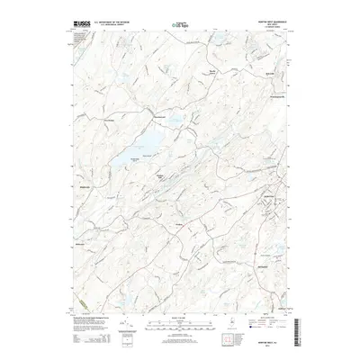
1954 Map of Wawayanda
USGS Topo · Published 1989About this map
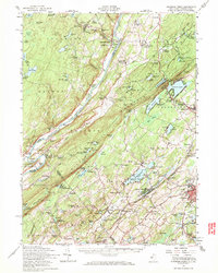
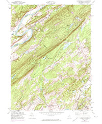
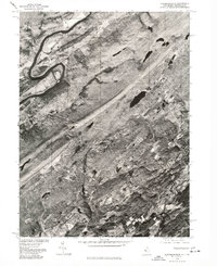
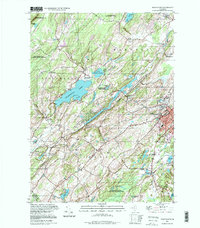
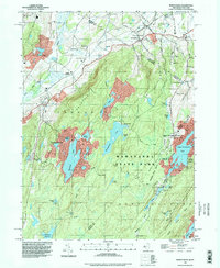
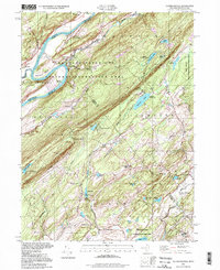
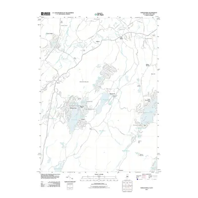
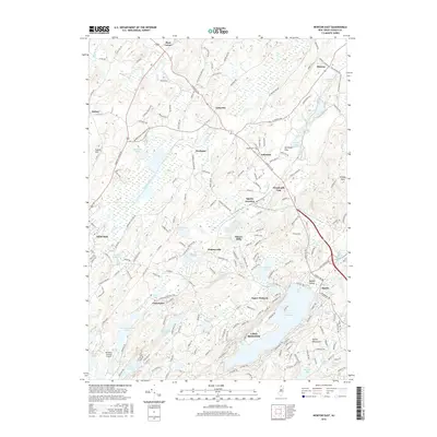
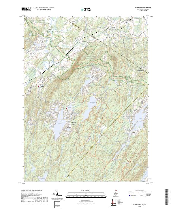
Wawayanda Mountain dominates the center of this 1954 survey, serving as a high-relief boundary between the valley settlements to the west and the lake communities to the east. The Appalachian Trail traces the ridgeline of Pochuck Mountain before descending toward the Lehigh and Hudson River Railway corridor near Vernon. This region shows a transition from agricultural valley life to a burgeoning seasonal and residential landscape around water bodies like Highland Lake and the developing Upper Greenwood Lake.
Find a feature on this map
56 named features on this map. Tap any name to fly to it.
Don’t see what you’re looking for? This feature index may not catch every label — zoom into the map to look around manually.
Map Details
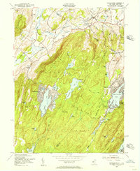
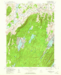
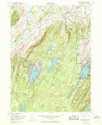
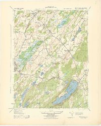
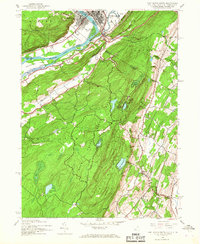
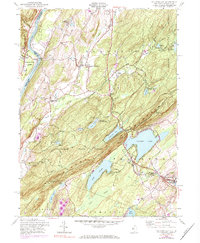
Editions of this 1954 Wawayanda Map
4 editions found
Historical Maps of Warwick Through Time
41 maps found
1903 Franklin Furnace
Sussex County, NJ

1943 Flatbrookville
Sussex County, NJ

1943 Franklin Furnace
Sussex County, NJ
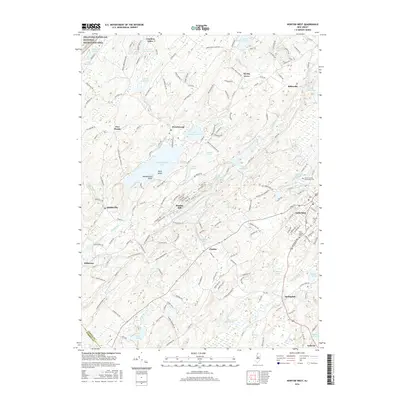
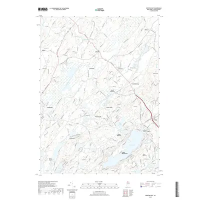
1943 Newton East
Sussex County, NJ
1943 Port Jervis South
Sussex County, NJ
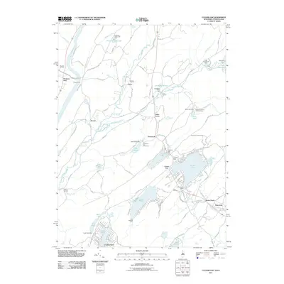
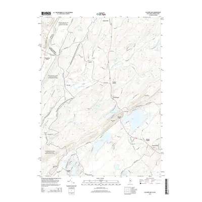
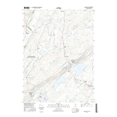
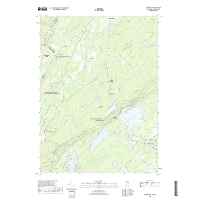
1954 Culvers Gap
Sussex County, NJ
1954 Dingmans Ferry
Sussex County, NJ
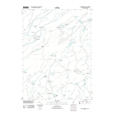
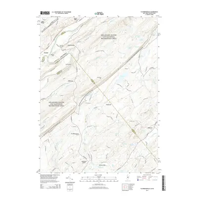
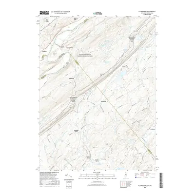
1954 Flatbrookville
Sussex County, NJ
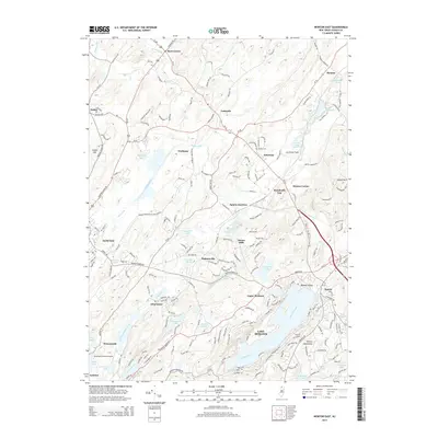
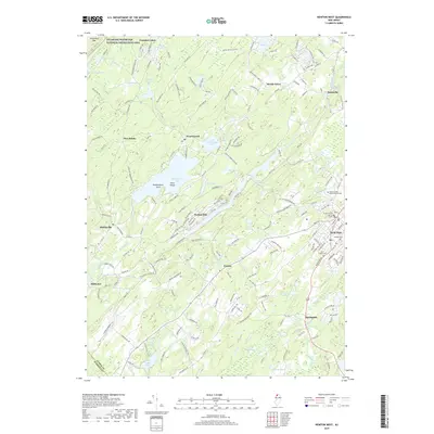
1954 Newton East
Sussex County, NJ
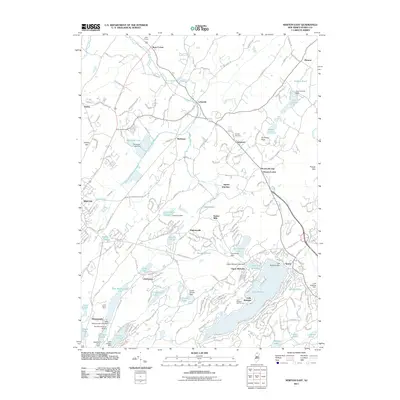
1954 Newton West
Sussex County, NJ
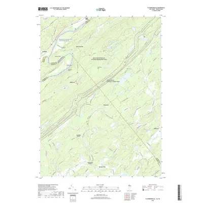
1954 Wawayanda
Sussex County, NJ
1976 Flatbrookville
Sussex County, NJ

1992 Flatbrookville
Sussex County, NJ
1994 Newton West
Sussex County, NJ
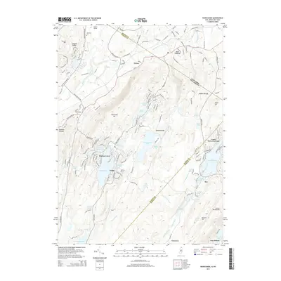
1994 Wawayanda
Sussex County, NJ
1997 Flatbrookville
Sussex County, NJ
2011 Culvers Gap
Sussex County, NJ
2011 Flatbrookville
Sussex County, NJ
2011 Newton East
Sussex County, NJ
2011 Newton West
Sussex County, NJ
2011 Wawayanda
Sussex County, NJ
2014 Culvers Gap
Sussex County, NJ
2014 Flatbrookville
Sussex County, NJ
2014 Newton East
Sussex County, NJ
2014 Newton West
Sussex County, NJ
2014 Wawayanda
Sussex County, NJ
2016 Culvers Gap
Sussex County, NJ
2016 Flatbrookville
Sussex County, NJ
2016 Newton East
Sussex County, NJ
2016 Newton West
Sussex County, NJ
2016 Wawayanda
Sussex County, NJ
2019 Culvers Gap
Sussex County, NJ
2019 Flatbrookville
Sussex County, NJ
2019 Newton East
Sussex County, NJ
2019 Newton West
Sussex County, NJ
2019 Wawayanda
Sussex County, NJ
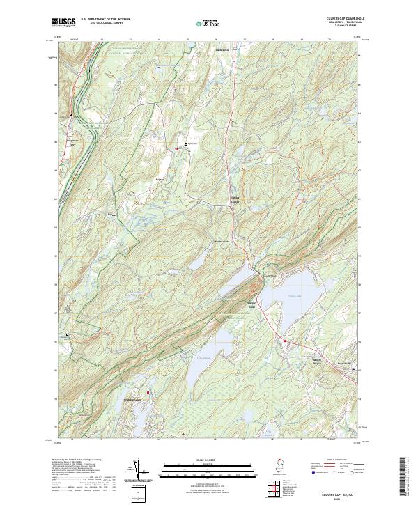
2023 Culvers Gap
Sussex County, NJ
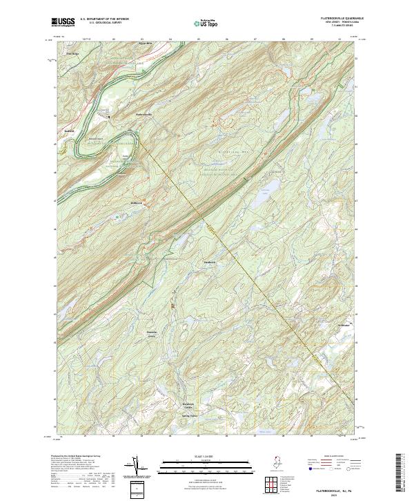
2023 Flatbrookville
Sussex County, NJ
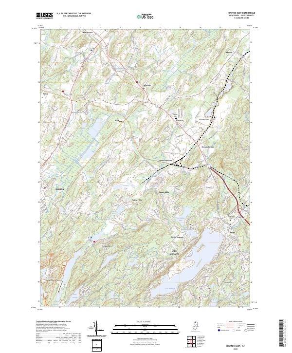
2023 Newton East
Sussex County, NJ
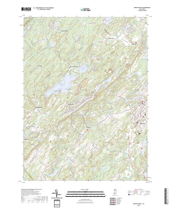
2023 Newton West
Sussex County, NJ
2023 Wawayanda
Sussex County, NJ