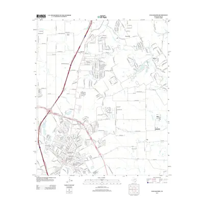
2012 Map of Waxahachie
USGS Topo · Published 2012About this map
Waxahachie Creek flows through the heart of Ellis County, defining the landscape south of the city center. This early 21st-century survey reveals a significant concentration of preserved architectural heritage, specifically within the Ellis County Courthouse Historic District and the West End Historic District. The mapping of the Wyatt Street Shotgun House Historic District highlights specialized local preservation efforts alongside traditional residential growth.
Find a feature on this map
265 named features on this map. Tap any name to fly to it.
Don’t see what you’re looking for? This feature index may not catch every label — zoom into the map to look around manually.
Map Details
Editions of this 2012 Waxahachie Map
This is the sole edition of this map. No revisions or reprints were ever made.
Other maps of this area

1891 · Dallas
USGS Topo · 1:125,000

1893 · Dallas
USGS Topo · 1:125,000

1954 · Dallas
USGS Topo · 1:250,000

1956 · Ennis
USGS Topo · 1:62,500

1958 · Dallas
USGS Topo · 1:250,000

1959 · Lancaster
USGS Topo · 1:24,000

1959 · Cedar Hill
USGS Topo · 1:24,000

1959 · Ferris
USGS Topo · 1:24,000

1959 · Seagoville
USGS Topo · 1:62,500

1960 · Boz
USGS Topo · 1:24,000