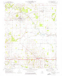
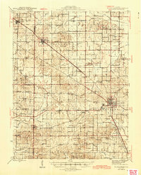
1973 Map of Wayne City
USGS Topo · Published 1975About this map
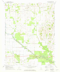
Wayne City serves as the focal point of this Southern Illinois landscape, situated at the intersection of the Southern railroad and a network of county roads. The settlement patterns in the early 1970s reveal a mix of small villages like Sims and Smithville interspersed with numerous family-named burial grounds including Thomason Cem and Trotter Cem. The meandering course of the Skillet Fork and its tributaries, such as Horse Creek and Fourmile Creek, define the low-lying terrain, while Hickory Hill and Fleming Ridge offer distinct geographic elevation. This era shows an active resource-extraction footprint with an Oil Well near the Dry Fork and municipal infrastructure like the Sewage Disposal Ponds and a Gaging Station along the river banks.
Find a feature on this map
35 named features on this map. Tap any name to fly to it.
Don’t see what you’re looking for? This feature index may not catch every label — zoom into the map to look around manually.
Map Details
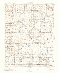
Editions of this 1973 Wayne City Map
This is the sole edition of this map. No revisions or reprints were ever made.
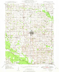
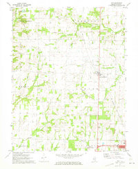
Other maps of this area
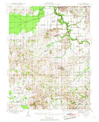
1941 · Enfield
USGS Topo · 1:62,500
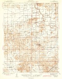
1942 · McLeansboro
USGS Topo · 1:62,500
1944 · Enfield
USGS Topo · 1:62,500
1945 · McLeansboro
USGS Topo · 1:62,500
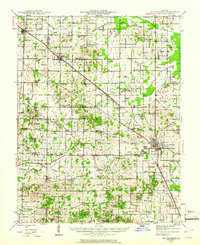
1947 · Wayne City
USGS Topo · 1:62,500
1948 · Fairfield
USGS Topo · 1:62,500

1958 · Belleville
USGS Topo · 1:250,000

1962 · Belleville
USGS Topo · 1:250,000
1970 · Geff
USGS Topo · 1:24,000
1971 · Boyleston
USGS Topo · 1:24,000