
1905 Map of Wayne
USGS Topo · Published 1905About this map
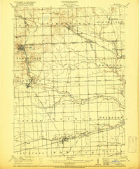
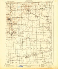
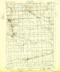
Northville and Plymouth stand as established centers of commerce and industry on the western edge of this early twentieth-century landscape, connected by the Pere Marquette R R. The region is defined by a dense network of early transportation, where electric lines like the Detroit and Northville Electric R R and the Orchard Lake Electric R R parallel traditional roads, signaling the rapid suburban expansion outward from Detroit. These interurban tracks linked smaller crossroads like Clarenceville and Stark to larger hubs, serving a population still largely dependent on the river valleys for industry and irrigation.
Find a feature on this map
57 named features on this map. Tap any name to fly to it.
Don’t see what you’re looking for? This feature index may not catch every label — zoom into the map to look around manually.
Map Details
Editions of this 1905 Wayne Map
4 editions found
Other maps of this area

1902 · South Lyon
USGS Topo · 1:62,500

1902 · Ypsilanti
USGS Topo · 1:62,500

1904 · Ann Arbor
USGS Topo · 1:125,000

1905 · Detroit
USGS Topo · 1:62,500

1906 · Ypsilanti
USGS Topo · 1:62,500

1906 · Wyandotte
USGS Topo · 1:62,500

1906 · South Lyon
USGS Topo · 1:62,500

1906 · Romulus
USGS Topo · 1:62,500

1907 · Pontiac
USGS Topo · 1:62,500

1908 · Ann Arbor
USGS Topo · 1:125,000