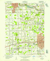
1952 Map of Wayne
USGS Topo · Published 1954About this map
Plymouth, Wayne, and the growing suburbs of Livonia anchor this western Wayne County landscape during a period of rapid post-war expansion. The map captures a transition from agricultural lands in Canton township to organized residential blocks in Norwayne, reflecting the mid-century suburbanization of the Detroit metro area. Strategic transportation corridors define the region, with the Chesapeake and Ohio and New York Central railroads bisecting the terrain, while Michigan Ave serves as a primary arterial route through the settlement of Sheldon.
Find a feature on this map
71 named features on this map. Tap any name to fly to it.
Don’t see what you’re looking for? This feature index may not catch every label — zoom into the map to look around manually.
Map Details
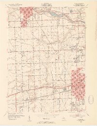
Editions of this 1952 Wayne Map
2 editions found
Other maps of this area

1902 · South Lyon
USGS Topo · 1:62,500

1902 · Ypsilanti
USGS Topo · 1:62,500

1904 · Ann Arbor
USGS Topo · 1:125,000

1905 · Wayne
USGS Topo · 1:62,500

1906 · Ypsilanti
USGS Topo · 1:62,500

1906 · South Lyon
USGS Topo · 1:62,500

1906 · Romulus
USGS Topo · 1:62,500

1908 · Ann Arbor
USGS Topo · 1:125,000

1912 · Wayne
USGS Topo · 1:62,500

1928 · Romulus
USGS Topo · 1:62,500
Featured Places
- Canton Township, MI
- Canton Charter Township, Canton Township
- Livonia, MI
- Westland, MI
- Van Buren Charter Township, MI