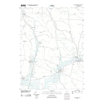
2010 Map of Waynesburg
USGS Topo · Published 2010About this map
Magnolia and Waynesburg anchor the southeastern corner of this landscape, where the waters of Sandy Creek and Little Sandy Creek converge. The topography is defined by the carved valleys of Nimishillen Creek and Hypocrite Run, with significant infrastructure supporting the regional population. Local history is deeply embedded in the land through an unusually high density of burial grounds, ranging from the Old Pioneer Cemetery near the heart of Waynesburg to the Farber-Knotts Cemetery and Evergreen Cemetery further south.
Find a feature on this map
83 named features on this map. Tap any name to fly to it.
Don’t see what you’re looking for? This feature index may not catch every label — zoom into the map to look around manually.
Map Details
Editions of this 2010 Waynesburg Map
This is the sole edition of this map. No revisions or reprints were ever made.
Other maps of this area

1901 · Canton
USGS Topo · 1:62,500

1903 · Canton
USGS Topo · 1:62,500

1909 · Alliance
USGS Topo · 1:62,500

1910 · Carrollton
USGS Topo · 1:62,500

1912 · Dover
USGS Topo · 1:62,500

1912 · Carrollton
USGS Topo · 1:62,500

1944 · Dover
USGS Topo · 1:62,500

1951 · Canton
USGS Topo · 1:250,000

1951 · Bolivar
USGS Topo · 1:24,000

1953 · Canton
USGS Topo · 1:250,000