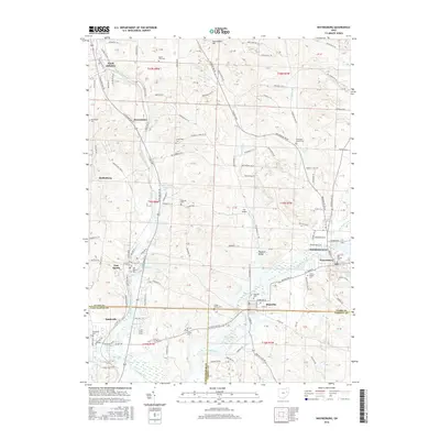
2016 Map of Waynesburg
USGS Topo · Published 2016About this map
Waynesburg and the southern border of Stark County are depicted here in a landscape defined by the intersection of three counties and the winding course of Sandy Creek. The village of Magnolia straddles the line into Carroll County, while Sandyville sits just across the boundary in Tuscarawas County. This map documents a region deeply rooted in local history, evidenced by the high concentration of family and community burial grounds, such as Old Pioneer Cem and Farber Knotts Cem.
Find a feature on this map
115 named features on this map. Tap any name to fly to it.
Don’t see what you’re looking for? This feature index may not catch every label — zoom into the map to look around manually.
Map Details
Editions of this 2016 Waynesburg Map
This is the sole edition of this map. No revisions or reprints were ever made.
Other maps of this area

1901 · Canton
USGS Topo · 1:62,500

1903 · Canton
USGS Topo · 1:62,500

1909 · Alliance
USGS Topo · 1:62,500

1910 · Carrollton
USGS Topo · 1:62,500

1912 · Dover
USGS Topo · 1:62,500

1912 · Carrollton
USGS Topo · 1:62,500

1944 · Dover
USGS Topo · 1:62,500

1951 · Canton
USGS Topo · 1:250,000

1951 · Bolivar
USGS Topo · 1:24,000

1953 · Canton
USGS Topo · 1:250,000