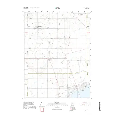
2019 Map of Waynesfield
USGS Topo · Published 2019About this map
Waynesfield and the surrounding agricultural landscape of Auglaize County define this corner of western Ohio. The village center is mapped in detail along W Wapakoneta St and Mulberry St, serving as a focal point for the surrounding rural townships. To the south, the settlement of New Hampshire sits near the headwaters of Muchinippi Cr, while the eastern edge follows the county line near Holden. The mapping of the Scioto River Ditch and its tributaries, such as Wrestle Cr and Wallace Fork, illustrates the significant hydrologic modifications common to this region's farming history.
Find a feature on this map
48 named features on this map. Tap any name to fly to it.
Don’t see what you’re looking for? This feature index may not catch every label — zoom into the map to look around manually.
Map Details
Editions of this 2019 Waynesfield Map
This is the sole edition of this map. No revisions or reprints were ever made.
Other maps of this area

1906 · Lima
USGS Topo · 1:62,500

1913 · Alger
USGS Topo · 1:48,000

1913 · Bellefontaine
USGS Topo · 1:48,000

1913 · Sidney
USGS Topo · 1:62,500

1915 · Alger
USGS Topo · 1:62,500

1915 · Bellefontaine
USGS Topo · 1:62,500

1943 · Alger
USGS Topo · 1:62,500

1944 · Sidney
USGS Topo · 1:62,500

1944 · Bellefontaine
USGS Topo · 1:62,500

1950 · Marion
USGS Topo · 1:250,000