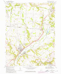
1968 Map of Waynesville
USGS Topo · Published 1975About this map
Waynesville and its surrounding river valley settlements are captured here during a period of transition in the late 1960s and early 1970s. The Little Miami River serves as the primary geographic corridor, flanked by the Penn Central railroad and several small communities including Corwin, Roxanna, and Mount Holly. A notable development in the landscape is the emergence of Caesar Creek Lake in the southeast corner, reflecting the mid-century push for regional water management and recreation.
Find a feature on this map
69 named features on this map. Tap any name to fly to it.
Don’t see what you’re looking for? This feature index may not catch every label — zoom into the map to look around manually.
Map Details
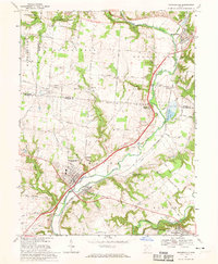
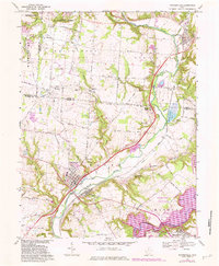
Editions of this 1968 Waynesville Map
3 editions found
Other maps of this area

1907 · Blanchester
USGS Topo · 1:62,500

1913 · Waynesville
USGS Topo · 1:62,500

1914 · Morrow
USGS Topo · 1:62,500

1915 · Waynesville
USGS Topo · 1:62,500

1916 · Morrow
USGS Topo · 1:62,500

1917 · Xenia
USGS Topo · 1:62,500

1947 · Columbus
USGS Topo · 1:250,000

1953 · Cincinnati
USGS Topo · 1:250,000

1955 · New Burlington
USGS Topo · 1:24,000
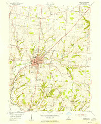
1955 · Lebanon
USGS Topo · 1:24,000