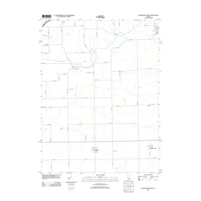
2012 Map of Waynesville West
USGS Topo · Published 2012About this map
The agricultural heart of Logan and DeWitt counties unfolds across this survey, centered on the unincorporated community of Beason and the nearby settlement of Midland City. A rigid grid of township roads, such as 1500th St and 2100th St, organizes the landscape, punctuated by small family and community burial grounds that reveal the deep-rooted genealogy of the region. Notable sites include Blue Grass Cem and Jolly Cem, which sit near the meandering course of Kickapoo Cr.
Find a feature on this map
66 named features on this map. Tap any name to fly to it.
Don’t see what you’re looking for? This feature index may not catch every label — zoom into the map to look around manually.
Map Details
Editions of this 2012 Waynesville West Map
This is the sole edition of this map. No revisions or reprints were ever made.
Other maps of this area

1911 · Lincoln
USGS Topo · 1:62,500

1913 · Lincoln
USGS Topo · 1:62,500

1949 · Mc Lean
USGS Topo · 1:62,500

1951 · McLean
USGS Topo · 1:62,500

1951 · Minier
USGS Topo · 1:62,500

1957 · Kenney
USGS Topo · 1:62,500

1958 · Peoria
USGS Topo · 1:250,000

1961 · Peoria
USGS Topo · 1:250,000

1963 · Peoria
USGS Topo · 1:250,000

1980 · Armington
USGS Topo · 1:24,000