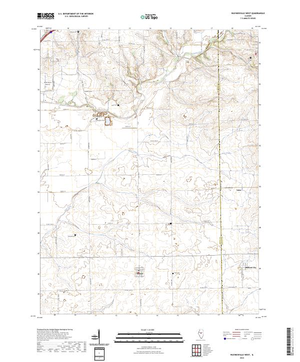
2024 Map of Waynesville West
USGS Topo · Published 2024About this map
Beason and Midland City anchor this central Illinois landscape where the local agricultural economy meets the drainage basins of Kickapoo Creek and Deer Creek. The terrain is defined by a high concentration of burial grounds, providing a detailed directory for genealogists including Atlanta Cem, Bluegrass Cem, and Berryhill Cem. These sites, alongside others like Jolly Cem and Keys Cem, are often situated near the meandering creek beds that break up the grid of section lines and county roads. Transportation in the area relies on a dense network of routes such as Co Hwy 28 and Meridian Rd, which follows the border between Logan and De Witt counties. The presence of Hoblit Farms Airport and the small settlement of Tabor further illustrate the transition between established rural hamlets and modern land use in this part of the state.
Find a feature on this map
57 named features on this map. Tap any name to fly to it.
Don’t see what you’re looking for? This feature index may not catch every label — zoom into the map to look around manually.
Map Details
Editions of this 2024 Waynesville West Map
This is the sole edition of this map. No revisions or reprints were ever made.
Other maps of this area

1911 · Lincoln
USGS Topo · 1:62,500

1913 · Lincoln
USGS Topo · 1:62,500

1949 · Mc Lean
USGS Topo · 1:62,500

1951 · McLean
USGS Topo · 1:62,500

1951 · Minier
USGS Topo · 1:62,500

1957 · Kenney
USGS Topo · 1:62,500

1958 · Peoria
USGS Topo · 1:250,000

1961 · Peoria
USGS Topo · 1:250,000

1963 · Peoria
USGS Topo · 1:250,000

1980 · Armington
USGS Topo · 1:24,000