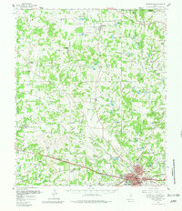
1959 Map of Weatherford
USGS Topo · Published 1981About this map
Weatherford serves as the central hub of this North Texas landscape, anchored by institutions like Weatherford College and landmarks such as the Rodeo Ground. The city's mid-century expansion is visible in its neighborhood schools, including Bowie Sch and the North Side Consolidated Sch. To the west and north, the terrain transitions into a patchwork of rural ranching and farming communities connected by the Texas and Pacific and the Weatherford Mineral Wells and Northwestern railroads. Small settlements like Peaster, Poolville, and Garner are defined by their local institutions, from Lone Star Ch to the Bethesda Cem. The drainage of the Clear Fork Trinity River and tributaries like Grindstone Creek shape the rural road network, while the Toto Gas Field indicates the region's mid-century energy production.
Find a feature on this map
53 named features on this map. Tap any name to fly to it.
Don’t see what you’re looking for? This feature index may not catch every label — zoom into the map to look around manually.
Map Details
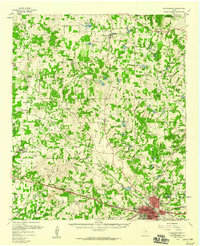
Editions of this 1959 Weatherford Map
2 editions found
Other maps of this area

1891 · Weatherford
USGS Topo · 1:125,000

1891 · Palo Pinto
USGS Topo · 1:125,000

1893 · Weatherford
USGS Topo · 1:125,000

1918 · Palo Pinto
USGS Topo · 1:125,000

1927 · Mineral Wells
USGS Topo · 1:62,500

1930 · Boyd
USGS Topo · 1:62,500

1931 · Dennis
USGS Topo · 1:62,500

1931 · Santo
USGS Topo · 1:62,500

1932 · Springtown
USGS Topo · 1:62,500

1954 · Dallas
USGS Topo · 1:250,000