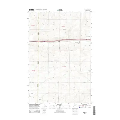
2013 Map of Weber
USGS Topo · Published 2013About this map
Warden Hutterite Brethren occupies a central position within this agricultural landscape of eastern Washington, situated along the border of Grant and Adams counties. The terrain is characterized by the distinct glacial drainage patterns of Farrier Coulee and Bauer Coulee, which cut through the high plains north of the Hutterite Brethren settlement. Large-scale agricultural operations are the primary economic driver of the region, evidenced by Country Morning Dairy Farms to the south and the Franz Ranch Airport to the east. The small settlement of Weber sits along the interstate corridor, while Schaeffer Spur indicates the area's historical reliance on rail-side shipping for grain and produce. A dense grid of county roads, including W Weber Rd and N Howard Rd, provides access to the expansive farm allotments that define the local economy.
Find a feature on this map
38 named features on this map. Tap any name to fly to it.
Don’t see what you’re looking for? This feature index may not catch every label — zoom into the map to look around manually.
Map Details
Editions of this 2013 Weber Map
This is the sole edition of this map. No revisions or reprints were ever made.
Other maps of this area

1916 · Connell
USGS Topo · 1:125,000

1918 · Connell
USGS Topo · 1:125,000

1923 · Wheeler
USGS Topo · 1:62,500

1924 · Othello
USGS Topo · 1:62,500

1925 · Wheeler
USGS Topo · 1:62,500

1925 · Schrag
USGS Topo · 1:62,500

1953 · Walla Walla
USGS Topo · 1:250,000

1953 · Ritzville
USGS Topo · 1:250,000

1954 · Warden
USGS Topo · 1:24,000

1954 · Othello
USGS Topo · 1:62,500