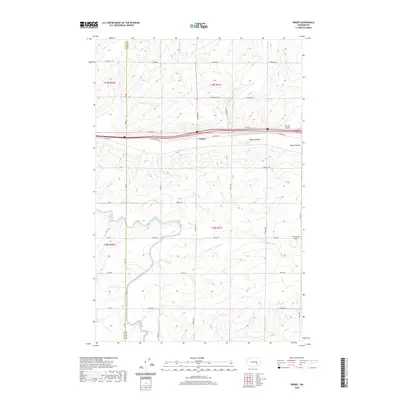
2020 Map of Weber
USGS Topo · Published 2020About this map
Weber serves as a central point in this landscape where the Grant and Adams County line intersects the local transport network. The terrain is defined by dramatic geological depressions, including Weber Coulee, Farrier Coulee, and Bauer Coulee, which snake across the northern half of the quadrangle. These coulees represent significant topographical features of the Columbia Basin, influencing the layout of local roads like W Schrag Rd and Baseline E.
Find a feature on this map
36 named features on this map. Tap any name to fly to it.
Don’t see what you’re looking for? This feature index may not catch every label — zoom into the map to look around manually.
Map Details
Editions of this 2020 Weber Map
This is the sole edition of this map. No revisions or reprints were ever made.
Other maps of this area

1916 · Connell
USGS Topo · 1:125,000

1918 · Connell
USGS Topo · 1:125,000

1923 · Wheeler
USGS Topo · 1:62,500

1924 · Othello
USGS Topo · 1:62,500

1925 · Wheeler
USGS Topo · 1:62,500

1925 · Schrag
USGS Topo · 1:62,500

1953 · Walla Walla
USGS Topo · 1:250,000

1953 · Ritzville
USGS Topo · 1:250,000

1954 · Warden
USGS Topo · 1:24,000

1954 · Othello
USGS Topo · 1:62,500