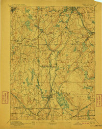
1892 Map of Webster
USGS Topo · Published 1911About this map
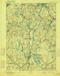
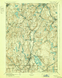
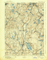
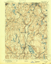
The French River and its numerous tributaries drive the industrial character of this late nineteenth-century corridor along the Massachusetts and Connecticut border. Industrial hamlets and mill villages like Bramanville, Hodges Village, and Manchaug are scattered among the undulating hills, connected by a dense web of rail lines including the Norwich and Worcester R. R. and the Boston and Albany R. R. The landscape is defined by its water management, seen in the proliferation of reservoirs such as Stiles Reservoir and Slaters Reservoir, which supported the region's textile and manufacturing base. From the northern edge at Leicester down to Webster, the map reveals a transition from traditional town commons like Old Common to specialized industrial zones. Numerous family-named landmarks like Putnam Hill and Carpenter Hill provide specific geographic markers for genealogical research into the families who settled this part of Worcester County.
Find a feature on this map
145 named features on this map. Tap any name to fly to it.
Don’t see what you’re looking for? This feature index may not catch every label — zoom into the map to look around manually.
Map Details
Editions of this 1892 Webster Map
9 editions found

Other maps of this area

1885 · Worcester
USGS Topo · 1:62,500

1886 · Worcester
USGS Topo · 1:62,500

1886 · Blackstone
USGS Topo · 1:62,500

1887 · Brookfield
USGS Topo · 1:62,500

1887 · Marlboro
USGS Topo · 1:62,500

1887 · Barre
USGS Topo · 1:62,500

1889 · Marlboro
USGS Topo · 1:62,500

1889 · Blackstone
USGS Topo · 1:62,500

1889 · Webster
USGS Topo · 1:62,500

1889 · Putnam
USGS Topo · 1:62,500