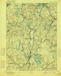
1892 Map of Webster
USGS Topo · Published 1916About this map
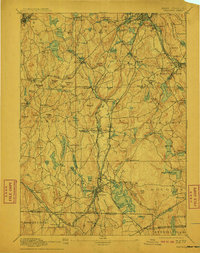
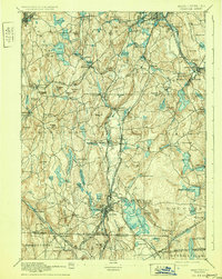
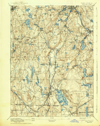
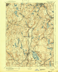
Lake Chaubunagungamaug dominates the southeastern terrain of this Central Massachusetts landscape, its intricate shoreline and islands situated just north of the Boundary Line between Massachusetts and Connecticut. The industrial development of the late 19th century is evident in the dense network of rail lines and mill towns concentrated along the French River and Quinebaug River. Major transportation corridors, including the Boston and Albany R.R. and the Norwich and Worcester R.R., link established manufacturing hubs like Webster, Millbury, and Oxford. This survey reveals a transition from the agricultural uplands of Charlton and Dudley to the burgeoning factory villages like Manchaug and Bramanville. Small hamlets and family-named landmarks like Larnedville, Buffumville, and Mugget Hill populate the spaces between these rail-connected centers, providing a detailed view of the region's economy before the arrival of the modern interstate system.
Find a feature on this map
146 named features on this map. Tap any name to fly to it.
Don’t see what you’re looking for? This feature index may not catch every label — zoom into the map to look around manually.
Map Details
Editions of this 1892 Webster Map
9 editions found

Other maps of this area

1885 · Worcester
USGS Topo · 1:62,500

1886 · Worcester
USGS Topo · 1:62,500

1886 · Blackstone
USGS Topo · 1:62,500

1887 · Brookfield
USGS Topo · 1:62,500

1887 · Marlboro
USGS Topo · 1:62,500

1887 · Barre
USGS Topo · 1:62,500

1889 · Marlboro
USGS Topo · 1:62,500

1889 · Blackstone
USGS Topo · 1:62,500

1889 · Webster
USGS Topo · 1:62,500

1889 · Putnam
USGS Topo · 1:62,500