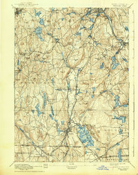
1892 Map of Webster
USGS Topo · Published 1938About this map
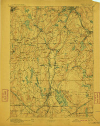
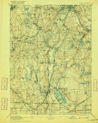
Pakachoag Hill and Mt Ararat dominate this nineteenth-century survey of the rugged borderlands between Massachusetts and Connecticut. The landscape is defined by the heavy presence of industry and transport along the French River and Quinebaug River, where established textile and mill villages like Manchaug, Bramanville, and Old Common thrived. The map reveals a dense network of water power and rail, including the Providence and Worcester R.R. and the Boston and Albany R.R. which connected these manufacturing centers to broader markets.
Find a feature on this map
126 named features on this map. Tap any name to fly to it.
Don’t see what you’re looking for? This feature index may not catch every label — zoom into the map to look around manually.
Map Details
Editions of this 1892 Webster Map
9 editions found

Other maps of this area

1885 · Worcester
USGS Topo · 1:62,500

1886 · Worcester
USGS Topo · 1:62,500

1886 · Blackstone
USGS Topo · 1:62,500

1887 · Brookfield
USGS Topo · 1:62,500

1887 · Marlboro
USGS Topo · 1:62,500

1887 · Barre
USGS Topo · 1:62,500

1889 · Marlboro
USGS Topo · 1:62,500

1889 · Blackstone
USGS Topo · 1:62,500

1889 · Webster
USGS Topo · 1:62,500

1889 · Putnam
USGS Topo · 1:62,500