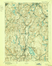
1892 Map of Webster
USGS Topo · Published 1931About this map
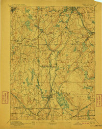
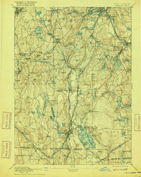
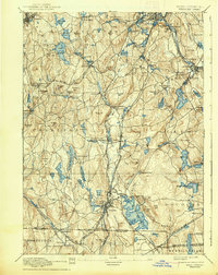
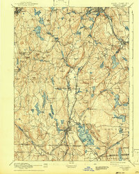
Webster Lake (Chaubunagungamaug) dominates the southern landscape of this 1880s survey, a sprawling water body surrounded by the industrial and agricultural heart of central Massachusetts. The terrain is defined by a dense network of hills like Pakachoag Hill and Mt. Ararat, which shaped the paths of vital late-19th-century rail lines. The Boston and Albany RR and the Norwich and Worcester RR cut through the valleys, connecting manufacturing centers like Millbury and Oxford to broader markets.
Find a feature on this map
134 named features on this map. Tap any name to fly to it.
Don’t see what you’re looking for? This feature index may not catch every label — zoom into the map to look around manually.
Map Details
Editions of this 1892 Webster Map
9 editions found

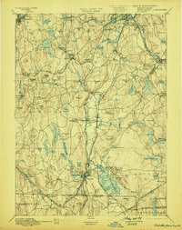
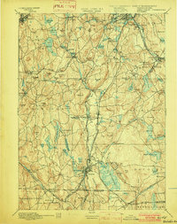
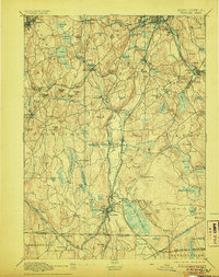
Other maps of this area

1885 · Worcester
USGS Topo · 1:62,500

1886 · Worcester
USGS Topo · 1:62,500

1886 · Blackstone
USGS Topo · 1:62,500

1887 · Brookfield
USGS Topo · 1:62,500

1887 · Marlboro
USGS Topo · 1:62,500

1887 · Barre
USGS Topo · 1:62,500

1889 · Marlboro
USGS Topo · 1:62,500

1889 · Blackstone
USGS Topo · 1:62,500

1889 · Webster
USGS Topo · 1:62,500

1889 · Putnam
USGS Topo · 1:62,500