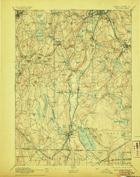
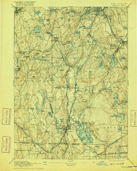
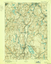
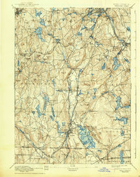
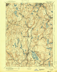
1892 Map of Webster
USGS Topo · Published 1906About this map
The French River corridor serves as the industrial and transit spine of this late 19th-century landscape, anchoring the bustling manufacturing centers of Webster, Oxford, and Auburn. The map captures a moment when New England's water-powered mill tradition was integrated with an expanding rail network, including the Boston and Albany R.R. and the Norwich and Worcester R.R.. Numerous reservoirs and ponds, such as Slaters Reservoir and South Charlton Reservoir, were engineered to manage water flow for downstream industry.
Find a feature on this map
140 named features on this map. Tap any name to fly to it.
Don’t see what you’re looking for? This feature index may not catch every label — zoom into the map to look around manually.
Map Details
Editions of this 1892 Webster Map
9 editions found

Other maps of this area

1885 · Worcester
USGS Topo · 1:62,500

1886 · Worcester
USGS Topo · 1:62,500

1886 · Blackstone
USGS Topo · 1:62,500

1887 · Brookfield
USGS Topo · 1:62,500

1887 · Marlboro
USGS Topo · 1:62,500

1887 · Barre
USGS Topo · 1:62,500

1889 · Marlboro
USGS Topo · 1:62,500

1889 · Blackstone
USGS Topo · 1:62,500

1889 · Webster
USGS Topo · 1:62,500

1889 · Putnam
USGS Topo · 1:62,500