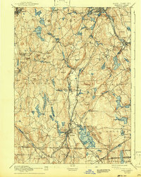
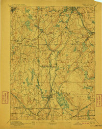
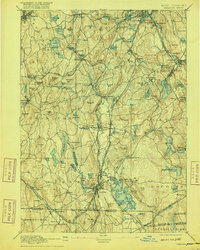
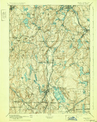
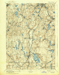
1892 Map of Webster
USGS Topo · Published 1943About this map
Industrial water power and textile-related mill villages dominate this late 19th-century landscape at the border of Massachusetts, Connecticut, and Rhode Island. Webster serves as a major hub, surrounded by smaller manufacturing hamlets such as Merino Village, Chaseville, and North Village along the French River. The sprawling waters of Lake Chaubunagungamaug define the geography east of the town center, while a dense network of reservoirs, including Stiles Reservoir and Slaters Reservoir, highlights the region's managed water resources for its various industries.
Find a feature on this map
130 named features on this map. Tap any name to fly to it.
Don’t see what you’re looking for? This feature index may not catch every label — zoom into the map to look around manually.
Map Details
Editions of this 1892 Webster Map
9 editions found

Other maps of this area

1885 · Worcester
USGS Topo · 1:62,500

1886 · Worcester
USGS Topo · 1:62,500

1886 · Blackstone
USGS Topo · 1:62,500

1887 · Brookfield
USGS Topo · 1:62,500

1887 · Marlboro
USGS Topo · 1:62,500

1887 · Barre
USGS Topo · 1:62,500

1889 · Marlboro
USGS Topo · 1:62,500

1889 · Blackstone
USGS Topo · 1:62,500

1889 · Webster
USGS Topo · 1:62,500

1889 · Putnam
USGS Topo · 1:62,500