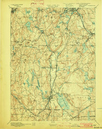
1892 Map of Webster
USGS Topo · Published 1902About this map
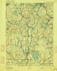
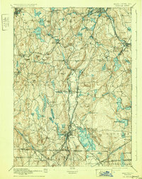
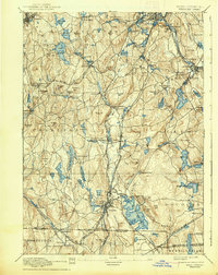
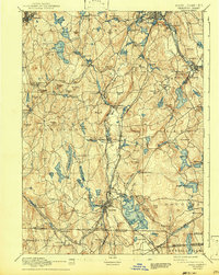
The sprawling Lake Chaubunagungamaug and the industrial corridors of the French River dominate the landscape of southern Worcester County during the late nineteenth century. This era finds the region at its manufacturing peak, with a dense network of textile and mill villages such as Manchaug, Bramanville, and Charlton City connected by an intricate web of rail lines. The Norwich and Worcester R.R. and the Boston and Albany R.R. bisect the terrain, facilitating the movement of goods from major centers like Webster and Millbury. Beyond the industrial hubs, the map reveals a rugged topography defined by family-named landmarks like Pakachoag Hill and Dresser Hill. The boundary lines of Douglas, Dudley, and Oxford intersect here, showing the established civic divisions and rural hamlets like West Sutton and North Charlton that supported the burgeoning mill economy of central Massachusetts.
Find a feature on this map
134 named features on this map. Tap any name to fly to it.
Don’t see what you’re looking for? This feature index may not catch every label — zoom into the map to look around manually.
Map Details
Editions of this 1892 Webster Map
9 editions found

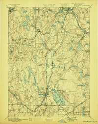
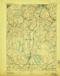
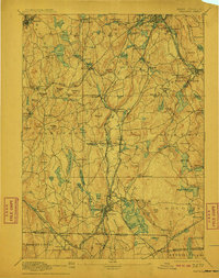
Other maps of this area

1885 · Worcester
USGS Topo · 1:62,500

1886 · Worcester
USGS Topo · 1:62,500

1886 · Blackstone
USGS Topo · 1:62,500

1887 · Brookfield
USGS Topo · 1:62,500

1887 · Marlboro
USGS Topo · 1:62,500

1887 · Barre
USGS Topo · 1:62,500

1889 · Marlboro
USGS Topo · 1:62,500

1889 · Blackstone
USGS Topo · 1:62,500

1889 · Webster
USGS Topo · 1:62,500

1889 · Putnam
USGS Topo · 1:62,500