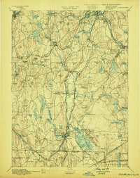
1892 Map of Webster
USGS Topo · Published 1899About this map
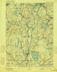
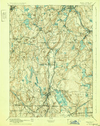
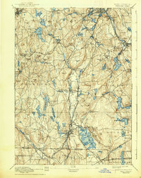
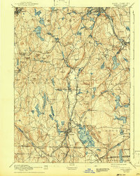
Webster and its surrounding mill towns anchor this late nineteenth-century industrial landscape across the border of Massachusetts, Connecticut, and Rhode Island. The region is defined by a dense network of water-powered industry along the French River and Quinebaug River, supporting clusters of workforce housing and manufacturing centers like Merino Village, North Village, and East Village. The geography reveals a transition from the rolling elevations of Pakachoag Hill and Dorothy Hill in the north toward the expansive waters of Manchaug Pond and the Stiles Reservoir.
Find a feature on this map
136 named features on this map. Tap any name to fly to it.
Don’t see what you’re looking for? This feature index may not catch every label — zoom into the map to look around manually.
Map Details
Editions of this 1892 Webster Map
9 editions found

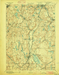
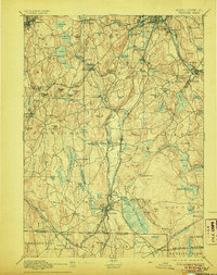
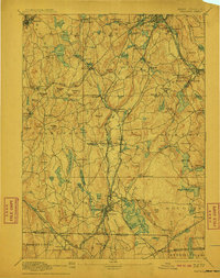
Other maps of this area

1885 · Worcester
USGS Topo · 1:62,500

1886 · Worcester
USGS Topo · 1:62,500

1886 · Blackstone
USGS Topo · 1:62,500

1887 · Brookfield
USGS Topo · 1:62,500

1887 · Marlboro
USGS Topo · 1:62,500

1887 · Barre
USGS Topo · 1:62,500

1889 · Marlboro
USGS Topo · 1:62,500

1889 · Blackstone
USGS Topo · 1:62,500

1889 · Webster
USGS Topo · 1:62,500

1889 · Putnam
USGS Topo · 1:62,500