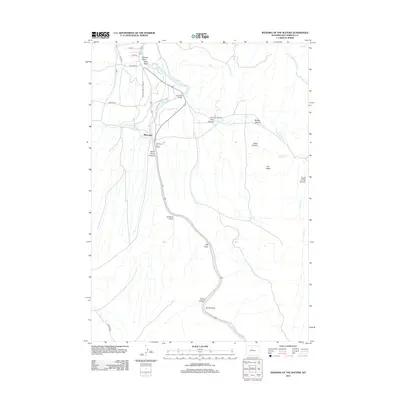
2012 Map of Wedding of the Waters
USGS Topo · Published 2012About this map
Wedding of the Waters marks a significant hydrologic transition in Hot Springs County, where the north-flowing river changes names from the Wind River to the Bighorn River. This 2012 topographic record documents the canyon landscape south of Thermopolis, characterized by steep drainage systems such as Wind River Canyon and Black Canyon. The small settlement of Minnesela is situated near the northern opening of the canyon, where the river emerges into more open valley terrain.
Find a feature on this map
31 named features on this map. Tap any name to fly to it.
Don’t see what you’re looking for? This feature index may not catch every label — zoom into the map to look around manually.
Map Details
Editions of this 2012 Wedding of the Waters Map
This is the sole edition of this map. No revisions or reprints were ever made.
Other maps of this area

1951 · Boysen
USGS Topo · 1:24,000

1951 · Birdseye Pass
USGS Topo · 1:24,000

1951 · Morrison Canyon
USGS Topo · 1:24,000

1955 · Thermopolis
USGS Topo · 1:250,000

1958 · Thermopolis
USGS Topo · 1:250,000

1960 · Devil Slide
USGS Topo · 1:24,000

1960 · Red Hole
USGS Topo · 1:24,000
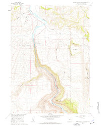
1960 · Wedding Of The Waters
USGS Topo · 1:24,000

1960 · Thermopolis
USGS Topo · 1:24,000

1962 · Thermopolis
USGS Topo · 1:250,000