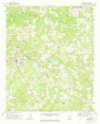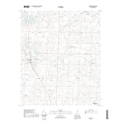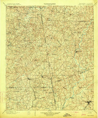
1902 Map of Wedowee
USGS Topo · Published 1914About this map
Wedowee serves as a central hub in this survey of the Alabama-Georgia borderlands, an area defined by the winding paths of the Tallapoosa River and the Chattahoochee River. The landscape at the turn of the century is characterized by a dense network of small agricultural and industrial outposts, including Rock Mills and Milltown, which are tied together by early rail lines like the Central of Georgia RR. Of particular interest to industrial historians is the Copper Mine located near the northern boundary line, signaling early mineral extraction efforts in the region.
Find a feature on this map
103 named features on this map. Tap any name to fly to it.
Don’t see what you’re looking for? This feature index may not catch every label — zoom into the map to look around manually.
Map Details
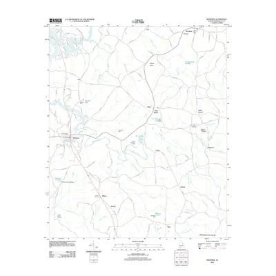
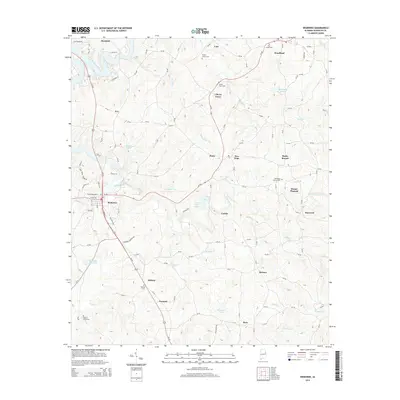
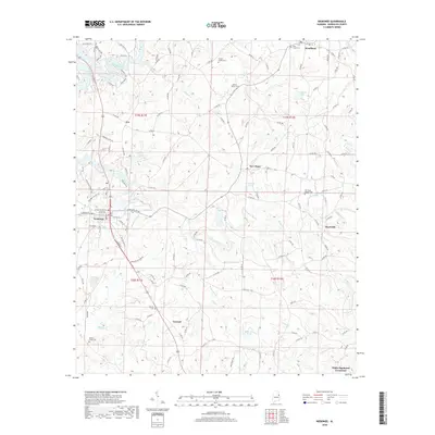
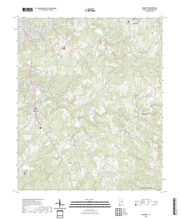
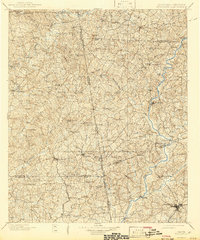
Editions of this 1902 Wedowee Map
3 editions found

Historical Maps of LaGrange Through Time
8 maps found