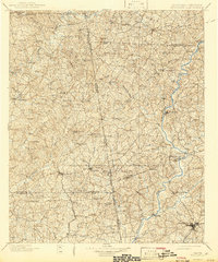
1902 Map of Wedowee
USGS Topo · Published 1942About this map
The Alabama Georgia Boundary Line serves as the central axis of this early 20th-century survey, separating the rugged hill country of East Alabama from the river-fed lands of West Georgia. In the Alabama portion, Wedowee and Roanoke anchor a network of rural settlements like Potash, Omaha, and Rock Mills. The terrain is deeply carved by the Tallapoosa River and its numerous tributaries such as Cornhouse Creek and Chikasanoxee Creek. To the north, a solitary Copper Mine indicates early industrial interest near Blackjack Mt..
Find a feature on this map
91 named features on this map. Tap any name to fly to it.
Don’t see what you’re looking for? This feature index may not catch every label — zoom into the map to look around manually.
Map Details
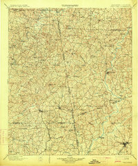
Editions of this 1902 Wedowee Map
3 editions found

Other maps of this area

1889 · Tallapoosa
USGS Topo · 1:125,000

1891 · Marietta
USGS Topo · 1:125,000

1891 · Ashland
USGS Topo · 1:125,000

1892 · Tallapoosa
USGS Topo · 1:125,000

1895 · Marietta
USGS Topo · 1:125,000

1897 · Marietta
USGS Topo · 1:125,000

1897 · Tallapoosa
USGS Topo · 1:125,000

1899 · Wedowee
USGS Topo · 1:125,000

1900 · Anniston
USGS Topo · 1:125,000

1901 · Marietta
USGS Topo · 1:125,000