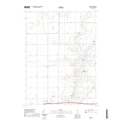
2021 Map of Wedron
USGS Topo · Published 2021About this map
The Fox River and Indian Creek converge in this portion of LaSalle County, defining a landscape marked by small riverside settlements and significant genealogical landmarks. The town of Wedron sits at the northern bend of the river, while Dayton and the northern edge of Ottawa occupy the southern reaches of the map. This modern survey reflects the enduring rural structure of the region, where family and community history is preserved in sites like Freedom Lutheran Cem, West Serena Cem, and Trumbo Cem.
Find a feature on this map
60 named features on this map. Tap any name to fly to it.
Don’t see what you’re looking for? This feature index may not catch every label — zoom into the map to look around manually.
Map Details
Editions of this 2021 Wedron Map
This is the sole edition of this map. No revisions or reprints were ever made.
Other maps of this area

1892 · Marseilles
USGS Topo · 1:62,500

1892 · Ottawa
USGS Topo · 1:62,500

1915 · Ottawa
USGS Topo · 1:62,500

1916 · Marseilles
USGS Topo · 1:62,500

1940 · Marseilles
USGS Topo · 1:62,500

1946 · Ottawa
USGS Topo · 1:62,500

1948 · Sandwich
USGS Topo · 1:62,500

1950 · Sandwich
USGS Topo · 1:62,500

1951 · Earlville
USGS Topo · 1:62,500

1958 · Aurora
USGS Topo · 1:250,000