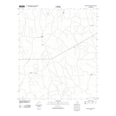
2010 Map of Weeks Settlement
USGS Topo · Published 2010About this map
Weeks Settlement and the surrounding piney woods of East Texas are defined by a complex network of waterways, including Little Cow Creek and Big Cow Creek, which drain this portion of Newton County. The landscape is marked by small upland features like Twin Hills and the Mayflower Lookout, while human presence is primarily centered on rural crossroads and infrastructure like the Scrappin Valley Airport.
Find a feature on this map
32 named features on this map. Tap any name to fly to it.
Don’t see what you’re looking for? This feature index may not catch every label — zoom into the map to look around manually.
Map Details
Editions of this 2010 Weeks Settlement Map
This is the sole edition of this map. No revisions or reprints were ever made.
Other maps of this area

1944 · Wiergate
USGS Topo · 1:62,500

1948 · Wiergate
USGS Topo · 1:62,500

1952 · Lake Charles
USGS Topo · 1:250,000

1953 · Alexandria
USGS Topo · 1:250,000

1954 · Wiergate
USGS Topo · 1:24,000

1954 · Fairdale
USGS Topo · 1:24,000

1954 · Wiergate
USGS Topo · 1:62,500

1954 · Lake Charles
USGS Topo · 1:250,000

1955 · Alexandria
USGS Topo · 1:250,000

1955 · Roganville
USGS Topo · 1:62,500