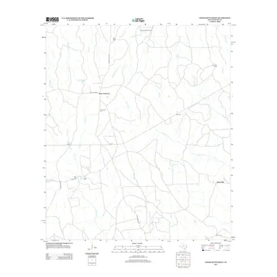
2012 Map of Weeks Settlement
USGS Topo · Published 2012About this map
Weeks Settlement and the surrounding piney woods of East Texas are defined by a complex network of creeks and timberlands in this 2012 study. The landscape is heavily dissected by watercourses, most notably Big Cow Cr and Little Cow Cr, which converge across a terrain marked by distinctive local features like Twin Hills. The infrastructure of the area serves both local utility and recreation, evidenced by the Scrappin Valley Airport and the Beef Trail Campground near Roundtree Lake.
Find a feature on this map
33 named features on this map. Tap any name to fly to it.
Don’t see what you’re looking for? This feature index may not catch every label — zoom into the map to look around manually.
Map Details
Editions of this 2012 Weeks Settlement Map
This is the sole edition of this map. No revisions or reprints were ever made.
Other maps of this area

1944 · Wiergate
USGS Topo · 1:62,500

1948 · Wiergate
USGS Topo · 1:62,500

1952 · Lake Charles
USGS Topo · 1:250,000

1953 · Alexandria
USGS Topo · 1:250,000

1954 · Wiergate
USGS Topo · 1:24,000

1954 · Fairdale
USGS Topo · 1:24,000

1954 · Wiergate
USGS Topo · 1:62,500

1954 · Lake Charles
USGS Topo · 1:250,000

1955 · Alexandria
USGS Topo · 1:250,000

1955 · Roganville
USGS Topo · 1:62,500