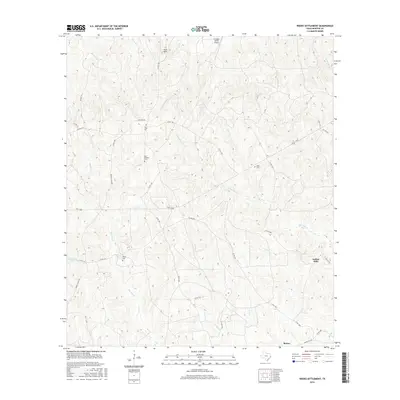
2016 Map of Weeks Settlement
USGS Topo · Published 2016About this map
The dense drainage networks of East Texas define this landscape, where Little Cow Cr and Big Cow Cr carve through the piney woods of Newton County. The area’s rural character is anchored by small, family-associated landmarks and burial grounds like Bay Springs Cem, Hardy Cem, and Wells Cem, which provide essential touchpoints for genealogical research. While largely defined by timberland and topography, the map shows modern developments such as the Indian Hills settlement and the Scrappin Valley Airport in the northern reaches.
Find a feature on this map
45 named features on this map. Tap any name to fly to it.
Don’t see what you’re looking for? This feature index may not catch every label — zoom into the map to look around manually.
Map Details
Editions of this 2016 Weeks Settlement Map
This is the sole edition of this map. No revisions or reprints were ever made.
Other maps of this area

1944 · Wiergate
USGS Topo · 1:62,500

1948 · Wiergate
USGS Topo · 1:62,500

1952 · Lake Charles
USGS Topo · 1:250,000

1953 · Alexandria
USGS Topo · 1:250,000

1954 · Wiergate
USGS Topo · 1:24,000

1954 · Fairdale
USGS Topo · 1:24,000

1954 · Wiergate
USGS Topo · 1:62,500

1954 · Lake Charles
USGS Topo · 1:250,000

1955 · Alexandria
USGS Topo · 1:250,000

1955 · Roganville
USGS Topo · 1:62,500