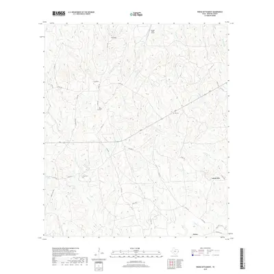
2019 Map of Weeks Settlement
USGS Topo · Published 2019About this map
Indian Hills and the rural crossroads of Mattox anchor this 2019 survey of Newton County, Texas. The landscape is defined by a dense network of creek drainages, including the prominent Big Cow Creek and Little Cow Creek, which carve through the wooded terrain near Twin Hills. This modern topographic study reveals a mix of family-named landmarks and long-established rural infrastructure. Genealogists can locate several historic burial grounds, such as Bay Springs Cemetery and Hardy Cemetery, tucked away from the primary county roads. The northern section is marked by the Scrappin Valley Airport, while Roundtree Lake provides a notable water feature in the southwest. The prevalence of private roads and county routes like Weeks Chapel Road illustrates the modern connectivity of this timbered region in East Texas.
Find a feature on this map
46 named features on this map. Tap any name to fly to it.
Don’t see what you’re looking for? This feature index may not catch every label — zoom into the map to look around manually.
Map Details
Editions of this 2019 Weeks Settlement Map
This is the sole edition of this map. No revisions or reprints were ever made.
Other maps of this area

1944 · Wiergate
USGS Topo · 1:62,500

1948 · Wiergate
USGS Topo · 1:62,500

1952 · Lake Charles
USGS Topo · 1:250,000

1953 · Alexandria
USGS Topo · 1:250,000

1954 · Wiergate
USGS Topo · 1:24,000

1954 · Fairdale
USGS Topo · 1:24,000

1954 · Wiergate
USGS Topo · 1:62,500

1954 · Lake Charles
USGS Topo · 1:250,000

1955 · Alexandria
USGS Topo · 1:250,000

1955 · Roganville
USGS Topo · 1:62,500