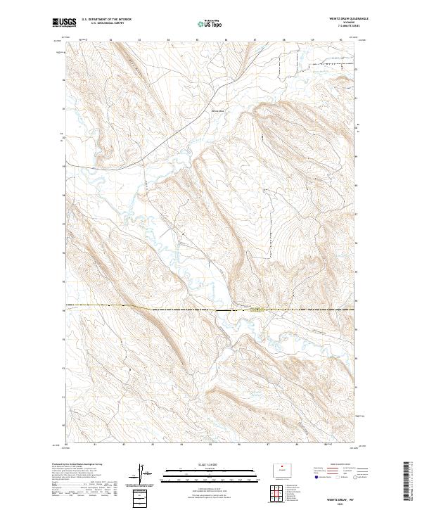
2021 Map of Weintz Draw
USGS Topo · Published 2021About this map
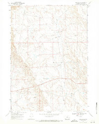
Nowood River meanders through this portion of the Big Horn Basin, where irrigation engineering and natural drainages define the landscape's utility. The convergence of Paint Rock Creek and the river occurs amidst a network of man-made water features, including the Anita Ditch and Wheeler Canal, which facilitate ranching in this arid terrain. Elevation changes are marked by the presence of Blue Ridge and the eponymous Weintz Draw, providing a topographic record of the drainage patterns essential to local land use.
Find a feature on this map
23 named features on this map. Tap any name to fly to it.
Don’t see what you’re looking for? This feature index may not catch every label — zoom into the map to look around manually.
Map Details
Editions of this 2021 Weintz Draw Map
This is the sole edition of this map. No revisions or reprints were ever made.
Other maps of this area

1955 · Sheridan
USGS Topo · 1:250,000

1958 · Sheridan
USGS Topo · 1:250,000

1960 · Flitner Reservoir
USGS Topo · 1:24,000

1960 · Hyatt Ranch
USGS Topo · 1:24,000

1960 · Manderson SE
USGS Topo · 1:24,000

1962 · Sheridan
USGS Topo · 1:250,000
1967 · Hyattville
USGS Topo · 1:24,000
1967 · Weintz Draw
USGS Topo · 1:24,000
1967 · Broom Draw
USGS Topo · 1:24,000
1967 · Worland SE
USGS Topo · 1:24,000