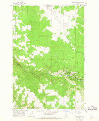
1966 Map of Weippe South
USGS Topo · Published 1968About this map
Weippe Prairie dominates the northern landscape of this mid-1960s survey, marking a distinct transition from the open agricultural flats near Weippe to the dense timber of the Clearwater National Forest. The geography is defined by the deep incision of Lolo Creek, which carves a rugged path across the center of the sheet, separating the upland prairies from the higher elevations of Paunch Mtn to the south. Local heritage is preserved in the location of the Weippe Cemetery and small clusters of settlement at Larson and Caribel. The map traces the early transportation network of the region, including the Wilson Trail and various jeep trails that navigate the steep breaks above Jim Ford Creek and Tom Taha Creek. This survey captures the boundary where the Nez Perce Indian Reservation meets the forested national lands, illustrating a landscape defined by both timber management and high-country ranching.
Find a feature on this map
23 named features on this map. Tap any name to fly to it.
Don’t see what you’re looking for? This feature index may not catch every label — zoom into the map to look around manually.
Map Details
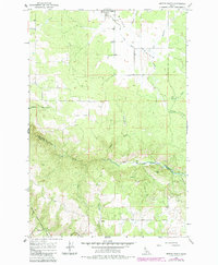
Editions of this 1966 Weippe South Map
2 editions found
Other maps of this area

1924 · Kamiah
USGS Topo · 1:125,000

1924 · Weippe
USGS Topo · 1:125,000

1955 · Pullman
USGS Topo · 1:250,000

1956 · Hamilton
USGS Topo · 1:250,000

1958 · Pullman
USGS Topo · 1:250,000

1959 · Hamilton
USGS Topo · 1:250,000

1960 · Hamilton
USGS Topo · 1:250,000

1964 · Hamilton
USGS Topo · 1:250,000

1966 · Kooskia
USGS Topo · 1:24,000

1966 · Pierce
USGS Topo · 1:24,000