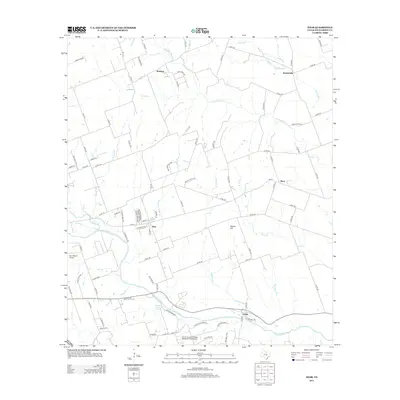
2013 Map of Weir
USGS Topo · Published 2013About this map
The San Gabriel River meanders across this Central Texas landscape, anchoring a series of small rural communities and ranching lands just north of Georgetown. Settlements such as Weir, Walburg, and Jonah are connected by a network of county roads and family-named thoroughfares like Thomas Lane and McShepherd Road. The topography is defined by subtle rises such as Queen Hill, while the drainage system of Berry Creek, Mileham Branch, and Yankee Branch feeds the larger river basin.
Find a feature on this map
97 named features on this map. Tap any name to fly to it.
Don’t see what you’re looking for? This feature index may not catch every label — zoom into the map to look around manually.
Map Details
Editions of this 2013 Weir Map
This is the sole edition of this map. No revisions or reprints were ever made.
Other maps of this area

1885 · Taylor
USGS Topo · 1:125,000

1887 · Taylor
USGS Topo · 1:125,000

1893 · Georgetown
USGS Topo · 1:125,000

1894 · Taylor
USGS Topo · 1:125,000

1925 · Georgetown 4-b
USGS Topo · 1:48,000

1925 · Georgetown 4-d
USGS Topo · 1:48,000

1928 · Round Rock
USGS Topo · 1:62,500

1949 · Round Rock
USGS Topo · 1:62,500

1951 · Round Rock
USGS Topo · 1:62,500

1954 · Austin
USGS Topo · 1:250,000