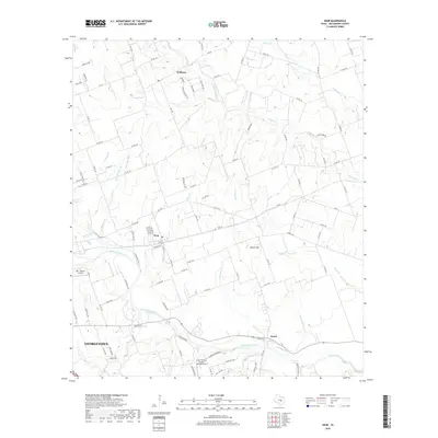
2019 Map of Weir
USGS Topo · Published 2019About this map
Walburg and Weir anchor the landscape northeast of Georgetown in this 2019 survey of Williamson County. The area is defined by the winding course of the San Gabriel River and its numerous tributaries, including Berry Creek, Pecan Br, and Mileham Br. The topography is marked by notable elevations such as Queen Hill, which overlooks a mix of agricultural land and expanding residential clusters like Cross Country Estates.
Find a feature on this map
102 named features on this map. Tap any name to fly to it.
Don’t see what you’re looking for? This feature index may not catch every label — zoom into the map to look around manually.
Map Details
Editions of this 2019 Weir Map
This is the sole edition of this map. No revisions or reprints were ever made.
Other maps of this area

1885 · Taylor
USGS Topo · 1:125,000

1887 · Taylor
USGS Topo · 1:125,000

1893 · Georgetown
USGS Topo · 1:125,000

1894 · Taylor
USGS Topo · 1:125,000

1925 · Georgetown 4-b
USGS Topo · 1:48,000

1925 · Georgetown 4-d
USGS Topo · 1:48,000

1928 · Round Rock
USGS Topo · 1:62,500

1949 · Round Rock
USGS Topo · 1:62,500

1951 · Round Rock
USGS Topo · 1:62,500

1954 · Austin
USGS Topo · 1:250,000