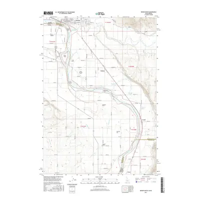
2017 Map of Weiser South
USGS Topo · Published 2017About this map
The Snake River forms a dynamic boundary between Idaho and Oregon in this 2017 study, where the waters are braided around significant landmasses like Wildcat Island, Patch Island, and Long Island. In the northern section, the city of Weiser serves as a regional hub, characterized by a structured grid of streets such as W Main St and E Park St. The landscape south of the city reveals a complex irrigation network vital to the local economy, featuring the Annex Canal, Lower Payette Ditch, and Galloway Canal.
Find a feature on this map
107 named features on this map. Tap any name to fly to it.
Don’t see what you’re looking for? This feature index may not catch every label — zoom into the map to look around manually.
Map Details
Editions of this 2017 Weiser South Map
This is the sole edition of this map. No revisions or reprints were ever made.
Other maps of this area

1897 · Weiser
USGS Topo · 1:125,000

1951 · Moores Hollow
USGS Topo · 1:24,000

1951 · Malheur Butte
USGS Topo · 1:24,000

1951 · Moores Hollow
USGS Topo · 1:62,500

1951 · Payette
USGS Topo · 1:24,000

1951 · Weiser South
USGS Topo · 1:24,000

1952 · Weiser Cove
USGS Topo · 1:24,000

1952 · Birding Island
USGS Topo · 1:24,000

1952 · Olds Ferry
USGS Topo · 1:62,500

1952 · Olds Ferry SE
USGS Topo · 1:24,000