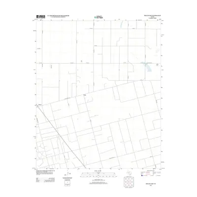
2012 Map of Welch East
USGS Topo · Published 2012About this map
The High Plains of Dawson County are defined by a rhythmic grid of agricultural roads and scattered water features in this 2012 study. The community of Pride serves as a local landmark, anchored by the nearby Pride Cem, while the town of Welch sits at the western edge of the quadrangle. The terrain is marked by a series of ephemeral depressions and intermittent drainage patterns, most notably Lost Draw which feeds into Frost Lake. This network of country roads, including Co RD A and Co RD-391, reflects the modern organization of the West Texas cotton and ranching country, where the landscape is etched by a precise secondary road system linking isolated farmsteads and agricultural centers across the Llano Estacado.
Find a feature on this map
27 named features on this map. Tap any name to fly to it.
Don’t see what you’re looking for? This feature index may not catch every label — zoom into the map to look around manually.
Map Details
Editions of this 2012 Welch East Map
This is the sole edition of this map. No revisions or reprints were ever made.
Other maps of this area

1954 · Lubbock
USGS Topo · 1:250,000

1954 · Hobbs
USGS Topo · 1:250,000

1954 · Big Spring
USGS Topo · 1:250,000

1954 · Brownfield
USGS Topo · 1:250,000

1958 · Brownfield
USGS Topo · 1:250,000

1958 · Big Spring
USGS Topo · 1:250,000

1958 · Hobbs
USGS Topo · 1:250,000

1962 · Brownfield
USGS Topo · 1:250,000

1968 · Lamesa North
USGS Topo · 1:24,000

1969 · Welch East
USGS Topo · 1:24,000