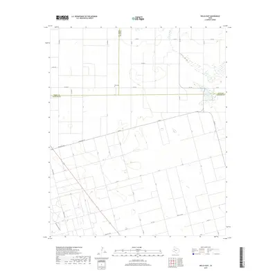
2019 Map of Welch East
USGS Topo · Published 2019About this map
Pride Cem stands as a focal point for genealogical research in this West Texas landscape, located just south of the junction of Terry, Lynn, and Dawson counties. The terrain is defined by the ephemeral hydrology of the Llano Estacado, most notably the seasonal basin of Frost Lake and the winding course of Lost Draw. These natural depressions and draws, including Sulphur Springs Draw in the southwest, historically dictated the movement of cattle and early travelers across the high plains.
Find a feature on this map
36 named features on this map. Tap any name to fly to it.
Don’t see what you’re looking for? This feature index may not catch every label — zoom into the map to look around manually.
Map Details
Editions of this 2019 Welch East Map
This is the sole edition of this map. No revisions or reprints were ever made.
Other maps of this area

1954 · Lubbock
USGS Topo · 1:250,000

1954 · Hobbs
USGS Topo · 1:250,000

1954 · Big Spring
USGS Topo · 1:250,000

1954 · Brownfield
USGS Topo · 1:250,000

1958 · Brownfield
USGS Topo · 1:250,000

1958 · Big Spring
USGS Topo · 1:250,000

1958 · Hobbs
USGS Topo · 1:250,000

1962 · Brownfield
USGS Topo · 1:250,000

1968 · Lamesa North
USGS Topo · 1:24,000

1969 · Welch East
USGS Topo · 1:24,000